Wildfire – Fire Map Info 2.0.1 Apk for Android

updateUpdated
offline_boltVersion
2.0.1
phone_androidRequirements
4.4
categoryGenre
Apps, Weather
play_circleGoogle Play
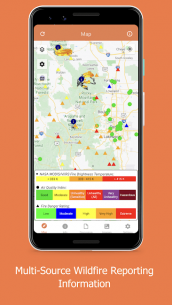
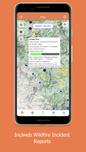
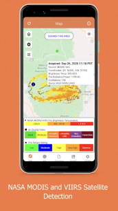
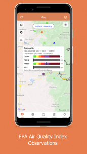
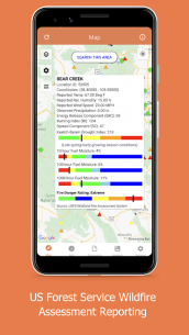
The description of Wildfire - Fire Map Info
The Fastest Way to View NOAA/USGS Wildfire Data
Stay informed about the latest wildfire incidents with our comprehensive resources that provide real-time data and analysis from reputable sources like NOAA, USGS, and NASA.
Current Wildfires
Access NASA's near-realtime MODIS and VIIRS I-band fire detection data, which is coupled with the USGS fire perimeter analysis. This allows you to get an up-to-date overview of ongoing wildfire activities.
Hazardous Wildfire Condition Zones
Explore detailed discussions from NOAA and USGS regarding ongoing wildfires and their current conditions. This information is crucial for understanding the impact of wildfires on various regions.
Weather Data
Utilize near-realtime weather data overlays that include:
- NOAA HD Weather Radar
- Long Duration Hazards
- Short Duration Watches & Warnings
- Wind Speeds and Directions
- And much more!
News and Analysis
Stay updated with current national incidents and receive updates from responding agencies. Additionally, you can view analysis graphics provided by various federal fire and weather agencies.
Beautiful Base Maps
Visualize data using:
- Google Maps - Normal, Satellite, and Terrain Maps
- USGS-provided Topographic Maps
- NASA Blue Marble Maps
With these resources at your fingertips, you can effectively monitor wildfire conditions and make informed decisions. Stay safe and informed!
Download Wildfire - Fire Map Info
Download the paid installation file of the program with a direct link - 6 MB
.apk


