World Atlas MxGeo Pro 9.3.6 Apk for Android
updateUpdated
offline_boltVersion
9.3.6
phone_androidRequirements
7.0
categoryGenre
Apps, Education & Curriculum
play_circleGoogle Play
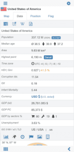
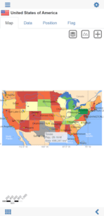
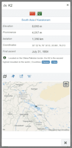
The description of World Atlas | world map | country lexicon MxGeoPro
Discover the World with Our Comprehensive Atlas
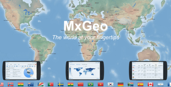
Explore the globe like never before with our World Atlas, a cutting-edge educational app designed for geography enthusiasts. Featuring over 260 countries and territories, this app provides extensive economic and geopolitical data, along with political maps that include regional units such as provinces, capitals, and major cities.
Key Features
- Maps, flags, and detailed data for more than 260 countries and territories.
- Search functionality for countries, major cities, rivers, mountains, or coordinates.
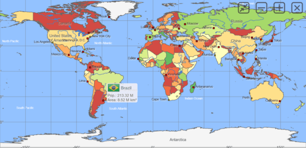
- Interactive political world, continent, and country maps.
- Shaded relief layer for enhanced world and continent maps.
- Historical political maps from the years 1900 and 1960.
- Engaging geography quiz challenges for playful learning.
- Country comparison, favorites, and a distance calculator.
- World clock with time zone display.
- World-explorer feature showcasing the smallest, largest, wealthiest, and most populated countries.
- Choropleth maps displaying temperature, area, HDI, population, and more.
- No internet connection required.
- No advertisements or in-app purchases.
- No permissions needed.
Explore All Continents
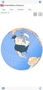
Navigate through detailed political maps of continents and countries offline. Whether it's Europe, Africa, Asia, Oceania, or the Americas, our app covers all regions, allowing you to learn the locations of each country in the world. Highlight your favorite countries on a digital globe and customize your map display with various color themes.
Test Your Knowledge with Fun Quizzes
Do you know the flag of Mauritius? How about the location of Mount Everest? The “World Atlas & World Map MxGeo Pro” Quiz is designed to enhance your geographic literacy in a fun and engaging way. Choose from seven geo guessing games:
- Test your knowledge about world capitals.
- Guess the federal states for selected countries (USA, Germany, Brazil, etc.).
- Identify the correct country flag based on the outline map.
- Know the top-level domains of the world's countries?
- Guess the highlighted country on the virtual globe.
- Identify the right country by its flag.
- Know the ISO country codes of the world?
- Identify the mountains of the world.
Each quiz includes seven regional variants: World, Europe, Africa, Asia, Oceania, South America, and North America.
A Fun Learning Experience for All Ages
This geo-learning app serves as an educational game suitable for everyone—children, adults, seniors, and teachers alike. Prepare for your next trip abroad while enjoying this comprehensive world almanac, which includes time zones and statistical data such as population growth, unemployment rates, average age, and GDP by sector. If you can't travel, our world atlas allows you to explore the globe virtually.
Comprehensive Atlas Coverage
Enjoy a detailed atlas of the world that includes Europe, Asia, North America, Africa, Oceania, and South America, featuring all countries, capitals, and flags.
What's news
• Updates and corrections for maps and data
• Bug fixes and improvements
9.x:
• World and continent maps of climate classes
• Country comparison: charts for time series based data
• New chart: Population distribution
8.x:
• Print maps and country data
• Historical world and continent maps of 1900, 1930 and 1960
• Search for countries, major cities, rivers, mountains, islands, lakes and coordinates
• World Explorer: largest cities, longest rivers and highest mountains
Download World Atlas | world map | country lexicon MxGeoPro
Download the paid installation file of the program with a direct link - 88 MB
.apk


